
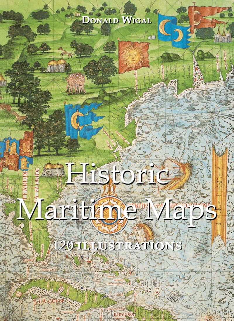
Historic Maritime Maps 120 illustrations
De Donald Wigal

Duração1h 45m
Sobre este audiolivro
In the Middle Ages, navigation relied upon a delicate balance between art and science. Whilst respecting the customs and the precautions of their forbearers, sailors had to count on their knowledge of the stars, the winds, the currents, and even of migratory flights. They also used hand-painted maps, which, although certainly summary, were marvellously well-drawn. In following the saga of old sailors, from Eric Le Rouge to Robert Peary, Donald Wigal leads us in discovering the New World. This magnificent overview of maps dating from the 10th to the 18th centuries, often ‘primitive’ and sometimes difficult to understand, retraces the progress of cartography and shows the incredible courage of men who endeavoured to conquer the seas with tools whose geographical accuracy often left much to be desired.
Detalhes do audiolivro
GêneroHistory, Other
Duração1 h 45 min
Narrado porOuça com mais de 1.000 vozes
FormatoeBook com áudio
IdiomaInglês
Sumário
1Introduction
2Chronology
3The Beginnings of Exploration: 300 BC – 1000 AD
4Coming out of the Dark: 1000-1400
5Portolani During this Period
Mostrar todos os capítulosVer menos
6Discovering New Worlds, West and East: 1400-1500
7Portolani during this period
8Beyond the New World: 1500-1550
9Portolani During This Period
10Bridging the Oceans: 1550-1600
11Portolani During This Period
12The Renaissance of Discovery: 1600-1700
13Portolani During This Period
14Sailing Towards the Modern World: 1700-1900
15Modern Explorers: American Explorers
Séries

SargentDonald Wigal1h 26min$15
Anciennes Cartes marines 120 illustrationsDonald Wigal2h$15

Die Faszination des OpiumsDonald Wigal1h 22min$8

The mystique of OpiumDonald Wigal1h 12min$8

KleeDonald Wigal1h 23min4.5 (23)$8

Paul Klee et œuvres d'artDonald Wigal1h 44min$15
PollockDonald Wigal1h 29min3.9 (15)$8
PollockDonald Wigal1h 17min4.1 (40)$8

La mystique de l'OpiumDonald Wigal1h 24min$8
PollockDonald Wigal1h 23min3.9 (15)$8
PollockDonald Wigal6h 48min$18

Paul KleeDonald Wigal1h 44min4.2 (39)$15

PollockDonald Wigal7h 37min4.1 (30)$18

PollockDonald Wigal7h 30min3.9 (15)$18

OpiumDonald Wigal1h 20min3.2 (15)$15
KleeDonald Wigal1h 34min4.2 (35)$15

Historische Seekarten. Entdeckungsfahrten zu neuen WeltenDonald Wigal2h 14min$15

OpiumDonald Wigal1h 25min3.2 (15)$15

OpiumDonald Wigal1h 28min3.2 (15)$15

A Brief History of IntelligenceMax S. Bennett12h 18min4.6 (6.6K)$29 · $0.00
Pearl of Great PriceJoseph Smith3h 8min4.7 (7.2K)$1.20 · $0.00

The Happiest Man on EarthEddie Jaku3h 48min4.6 (178K)$7 · $0.00

MotherlandJulia Ioffe17h 52min4.7 (2.5K)$40 · $0.00

Where Cowards Go to DieBenjamin Sledge8h 42min4.7 (351)$20 · $0.00

RevolutionariesSanjeev Sanyal11h 23min4.6 (2.6K)$29 · $0.00
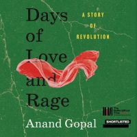
Days of Love and Rage: A Story of RevolutionAnand Gopal22h 36min4.7 (584)$34 · $0.00

We Crossed a Bridge and It TrembledWendy Pearlman6h4.6 (5.2K)$24 · $0.00

Unbroken Bonds of BattleJohnny Joey Jones8h 31min4.6 (2.6K)$8 · $0.00

The Daughter of AuschwitzTova Friedman, Malcolm Brabant7h 54min4.6 (16.7K)$26 · $0.00

Lily's PromiseLily Ebert, Dov Forman8h 54min4.6 (16.1K)$29 · $0.00

On Democracies and Death CultsDouglas Murray10h 38min4.6 (6.5K)$29 · $0.00

Across the RiverKent Babb11h 40min4.6 (927)$29 · $0.00

Balcony Over Jerusalem: A Middle East Memoir - Israel, Palestine and BeyondJohn Lyons12h 37min4.6 (1.4K)$33 · $0.00

BeyondStephen Walker15h 39min4.6 (3.2K)$33 · $0.00
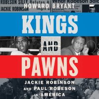
Kings and PawnsHoward Bryant10h 9min4.6 (678)$29 · $0.00

No EscapeNury Turkel9h 30min4.6 (809)$28 · $0.00

Jubal Stone: U.S. Marshal: Blood Trail To Hell: A Western Adventure NovelCasey Nash3h 42min4.6 (3.2K)$18 · $0.00

Fall and RiseMitchell Zuckoff17h 23min4.6 (9.8K)$40 · $0.00

The SurvivorJosef Lewkowicz, Michael Calvin9h 22min4.6 (2.5K)$29 · $0.00
The Holy Bible - 1 SamuelKing James2h 13min4.8 (1.6K)$3 · $0.00

The American Standard Bible — The Gospel of MatthewMatthew3h 56min4.7 (3K)$2 · $0.00

Bad Fat Black GirlSesali Bowen6h 32min4.7 (2.8K)$24 · $0.00

The King James Audio Bible New Testament CompleteChristopher Glyn20h 2min4.7 (2.6K)$10 · $0.00
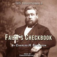
Faiths CheckbookCharles Spurgeon12h 44min4.7 (3.2K)$11 · $0.00

Ten Things I Wish You Knew About Your Child's Mental HealthDr. Billy Garvey4h 53min4.7 (2.4K)$20 · $0.00

Designing Terry Pratchett’s DiscworldPaul Kidby3h 52min4.7 (343)$20 · $0.00

The Lives of BrianBrian Johnson9h 45min4.6 (3.5K)$29 · $0.00
Expository Thoughts on the Gospel of LukeJ.C. Ryle27h 13min4.7 (536)$18 · $0.00
CrossroadsKaleb Dahlgren7h 56min4.6 (4.9K)$26 · $0.00
Across the RiverKent Babb11h 40min4.6 (927)$29 · $0.00

Brain Training for RidersAndrea Monsarrat Waldo5h 56min4.7 (550)$19 · $0.00

My Effin' LifeGeddy Lee17h 11min4.6 (13.1K)$40 · $0.00
Kings and PawnsHoward Bryant10h 9min4.6 (678)$29 · $0.00

The Elementia Chronicles #2: The New OrderSean Fay Wolfe11h 17min4.6 (841)$29 · $0.00

The ActsLuke2h 55min4.6 (19.7K)$12 · $0.00

New Testament - Easy NavigationWorld English Bible19h 35min4.6 (1.3K)$1.30 · $0.00
Woodcraft and Camping (Annotated)George Washington Sears3h 30min4.6 (1.2K)$1.99 · $0.00

The Hate U GiveAngie Thomas11h 50min4.5 (1.1M)$8 · $0.00

The King of AttoliaMegan Whalen Turner10h 23min4.5 (61.3K)$29 · $0.00
Você também pode gostar

Shackleton in the Antarctic, Being the Story of the British Antarctic Expedition, 1907 - 1909Sir Ernest Henry Shackleton6h 24min4.4 (668)$2.30

Around The World in 80 DaysJules Verne7h 30min4.1 (337.4K)$3 · $0.00

Five Weeks in a BalloonJules Verne10h 42min3.9 (42.1K)$2
The Journals of Lewis and Clark, 1804-1806Meriwether Lewis, William Clark69h 46min4.2 (6K)$1 · $0.00
Ibn Battuta: A short biography5 Minutes, 5 Minute Biographies, George Fritsche5min$1 · $0.00
Captain Cook's Journal During His First Voyage Round the WorldJames Cook24h3.8 (310)$2.30
Crozet's Voyage to Tasmania, New Zealand the Ladrone Islands, and the PhilippinesHenry Ling Roth5h 59min3.9 (32)$2 · $0.00

Joseph Pennell's pictures of the Panama CanalJoseph Pennell19min$1 · $0.00
Nearest the PoleRobert E. Peary8h 58min3.9 (151)$2.30

Vitus Bering: the Discoverer of Bering Strait (Annotated)Peter Lauridsen7h 11min$2 · $0.00
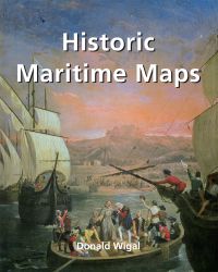
Historic Maritime MapsDonald Wigal3h 54min$18

Australian Heroes and AdventurersWilliam T. Pyke3h 31min$2 · $0.00
Mount Everest, the Reconnaissance, 1921Charles Howard-Bury, George Mallory, A. F. R. Wollaston10h 22min4.0 (39)$1 · $0.00
MOUNT EVEREST - The First Expedition of 1921 (Illustrated Edition) (Annotated)Charles Kenneth Howard-Bury13h 56min4.0 (39)$2 · $0.00

Lives of the ExplorersKathleen Krull1h 56min4.0 (289)$14
Captain Cook's Journal During the First Voyage Round the World made in H.M. bark "Endeavour"James Cook21h 56min3.9 (444)$1 · $0.00
The South Pole (Annotated)Roald Amundsen24h 56min$2 · $0.00
The Assault on Mount Everest. 1922C. G. Bruce9h 6min3.9 (19)$2.30
Lewis & ClarkWilliam R. Lighton3h 20min3.9 (129)$7.50 · $0.00
Australia Twice Traversed (Annotated)Ernest Giles21h 44min4.6 (11)$2 · $0.00